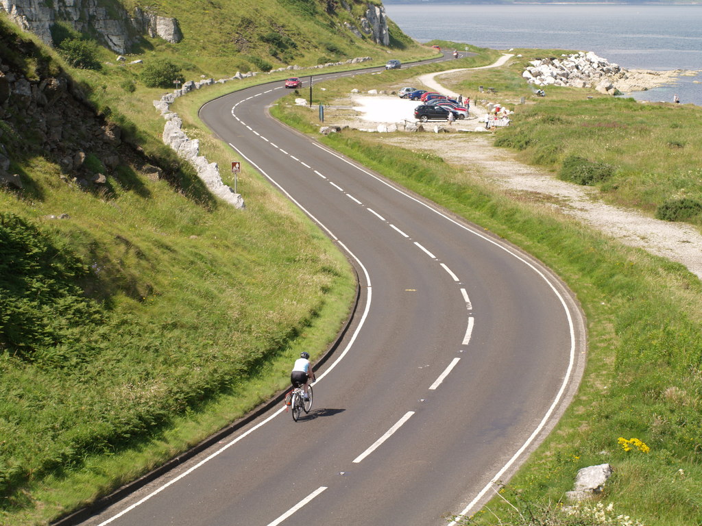
Leave Larne along the water
Follow the A2 north towards Ballygally and Glenarm. Save the coastal waypoints before leaving. This section of the Causeway Coastal Route runs close to the shore, with bends tucked beneath the cliffs. Plan photo stops in the villages, where you can park and walk to the waterfront.
Stop at Carnlough
After Glenarm, continue to Carnlough. Leave the motorcycle in a signed public parking space and walk to the harbour steps. The small basin and stone quay are easy to explore on foot. Keep harbour access free for the people working there.
Continue round the headlands
The A2 curves towards Waterfoot, where Glenariff meets the coast. Cushendall is the final stop on this ride, with a choice of retracing the Coast Road or planning a separate onward leg. Check Trafficwatch NI for coastal roadworks before committing to the return.